FlyMap - freelance drone mapping
FlyMap provides drone-based mapping and aerial data services for clients who need a detailed view of the ground.
We combine careful flight planning, high-quality imagery and modern photogrammetric processing to turn photographs into practical spatial information.
Whether you need a single aerial survey or repeat mapping over time, FlyMap can help build a workflow around the information your project requires.
From flight plan to finished maps
FlyMap turns drone imagery into accurate, useful information — from high-resolution aerial photography, surveys and orthomosaics to 3D models.
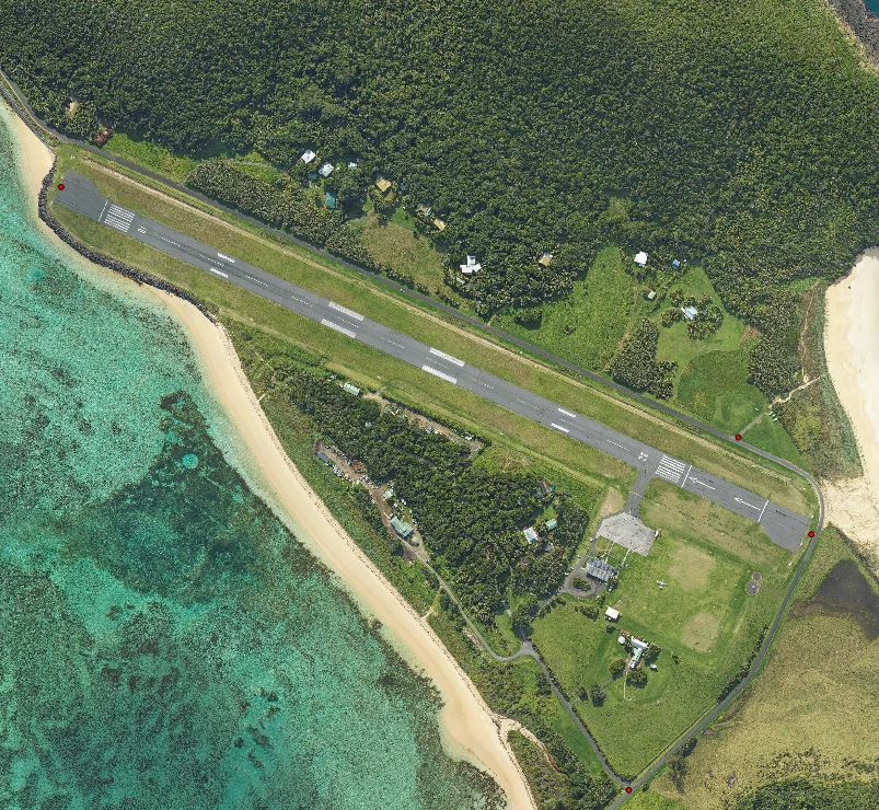
Flight Planning
Define the site, required coverage, outputs and accuracy requirements.
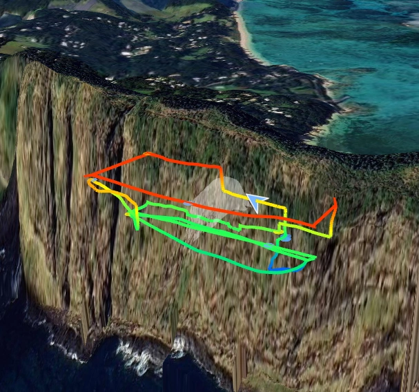
Drone Mapping
Capture detailed aerial imagery for site documentation, mapping, inspection and spatial analysis.
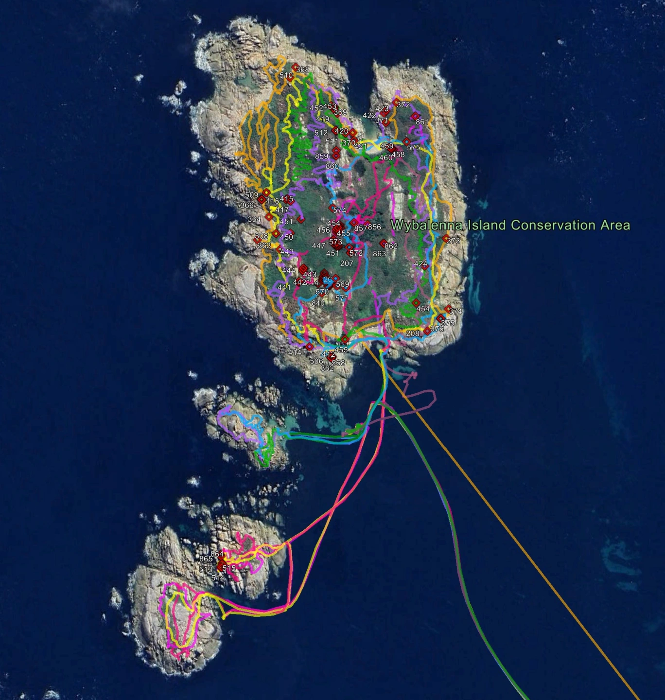
Orthophotography
Georeferenced orthomosaics and high-resolution aerial imagery for measuring and interpreting your site.
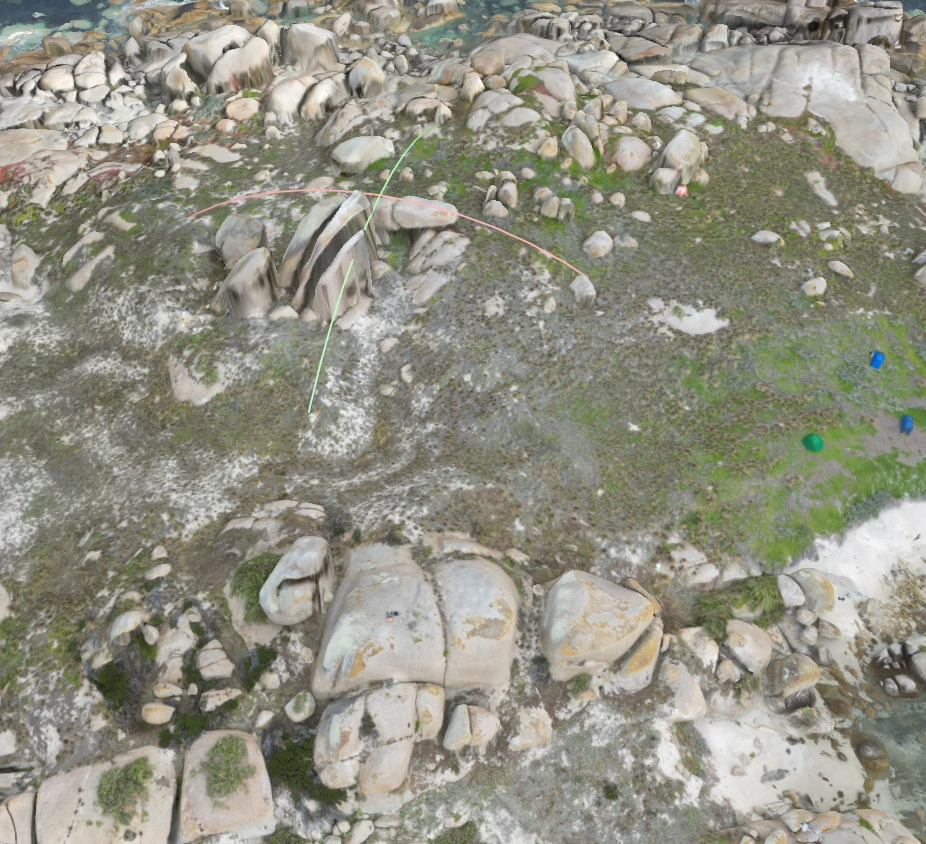
3D Photogrammetry
Photogrammetric point clouds, meshes and textured 3D models that bring complex sites into three dimensions.
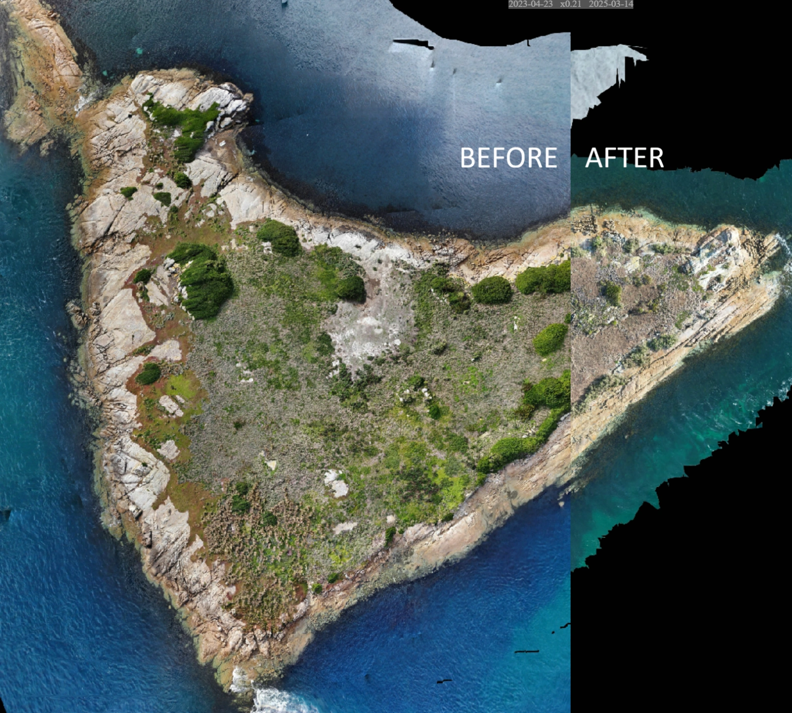
Aerial Surveys
Organised imagery, panoramas, fly-through video and spatial datasets supplied in practical formats for project workflows.
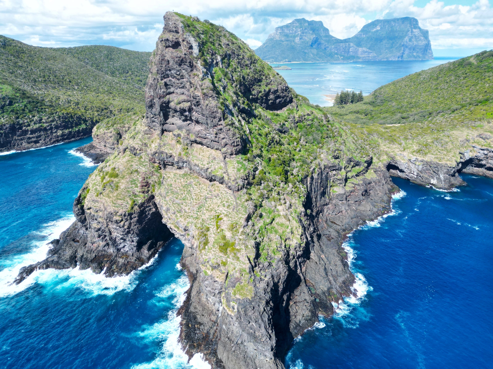
Report & Delivery
Receive clear, usable outputs suited to your project and software workflow.
FlyMap Drone Mapping
Professional drone data products designed to make aerial information easier to understand and use.
Based in Southern Tasmania but servicing statewide, Bass Strait Islands and currently Lord Howe Island.
Specialising in :

